The Maps That Got It Wrong
The Sila is one of the least accurately mapped natural environments in Italy, and not because it is particularly inaccessible or poorly surveyed. It is poorly mapped because it is poorly understood — understood, that is, in the specific sense that the tourist and hiking infrastructure generates maps: as collections of viewpoints, summit destinations, trail-to-refuge itineraries, and scenic roads. The Sila is none of these things primarily. It is a high plateau: a massif that rises to approximately 1900 metres at its highest point and extends across a large portion of central Calabria as a relatively level surface of ancient granite, covered in forests of silver fir, black pine, and beech, interrupted by artificial lakes whose hydroelectric origins have not prevented them from becoming genuinely beautiful, and inhabited by a range of wildlife whose diversity most visitors are unprepared for.
The Sila Piccola, the Sila Grande, and the Sila Greca — the three zones into which the massif is conventionally divided, reflecting differences in geology, ecology, and administrative history rather than dramatic topographic variation — together constitute the Parco Nazionale della Sila, established in 2002 and covering nearly 74,000 hectares. It is not a well-known national park by Italian standards. The Cinque Terre has more visitors in a day than the Sila receives in a month, which is — for the visitor who finds the Cinque Terre in its current state more exhausting than enjoyable — the most relevant fact about it.
The Forest
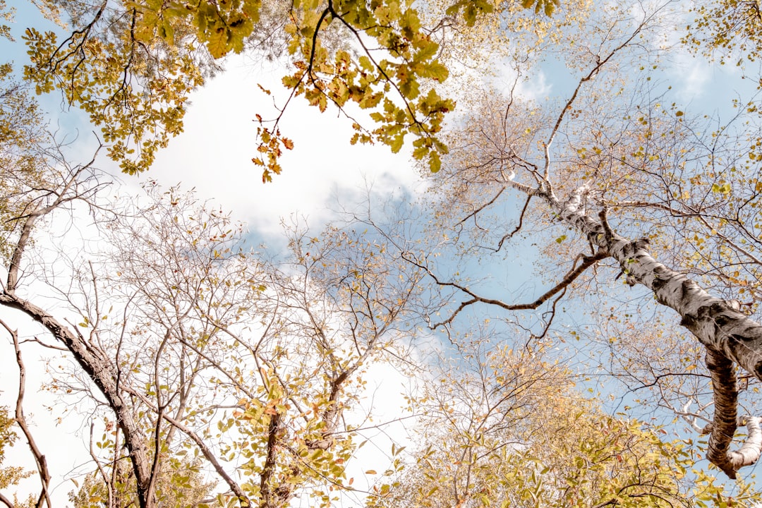
The Sila forest is the largest forest in Italy south of the Po valley, and it has a character that the Italian south is not popularly associated with: cool, dense, full of shade even in midsummer, with a ground flora that belongs to central European rather than Mediterranean ecology. The silver fir — Abies alba — grows here at the southern limit of its natural range, forming stands that were exploited heavily by the Bourbon and then Italian state forestry services but that have been recovering, under the protection of the national park, toward something approaching their pre-exploitation density.
Walking in the Sila forest in summer is a thermal experience as much as an aesthetic one. The plateau sits above the coastal heat belt that makes Calabrian July and August the challenge they are for anyone not equipped with a beach towel and a willingness to lie flat; at 1400 metres the temperatures are fifteen to twenty degrees lower than on the coast, and the shade of the fir forest reduces them further. The light that filters through a silver fir canopy — diffuse, greenish, with occasional shafts that reach the forest floor — is one of the more distinctive natural light conditions in the Italian landscape.
The Wildlife of the Plateau
The Sila supports populations of wolf and roe deer that are among the densest in southern Italy; the wolves here belong to the same population that has been colonising the Basilicatan interior, spreading south from the Apennine core that survived the persecution of the nineteenth and early twentieth centuries. The deer are visible in the early morning and late afternoon at the forest edges, particularly around the lakes, where the grazing is richer than in the closed forest. The otters that recolonised the Neto river system in the 1990s are present but rarely seen; their presence is detectable by the distinctive signs they leave on the riverbank.
The bird life of the Sila plateau includes species unusual in the Italian south: the black stork breeds here in small numbers; the short-toed eagle is regularly observed hunting the open grasslands at the plateau’s edge; the Eurasian eagle-owl roosts in the rocky outcrops of the Sila Piccola. The combination of forest, grassland, and aquatic habitat that the plateau provides supports a diversity of breeding species that is, by Italian standards, exceptional for a landscape at this latitude.
The Lakes
The three large artificial lakes of the Sila — Lago Ampollino, Lago Arvo, and Lago Cecita — were created between 1927 and 1959 for hydroelectric purposes and have been fully integrated into the plateau ecology in the seven decades since. They have created habitats that were not previously available: extensive water surfaces at altitude, with the reed beds and marginal vegetation these surfaces support and with the fish populations — trout in the upper reaches, pike and perch in the lower lake zones — that have made them significant for recreational fishing as well as for wildlife.
The lakes are also, incidentally, beautiful in a way that has nothing to do with their industrial origins. Lago Cecita, surrounded by beech forest on three sides and with a view to the open grasslands of the Fossiata valley to the south, is one of the more quietly spectacular natural water bodies in the Italian Apennines. In the early morning, before the temperature difference between water and air produces the mist that frequently covers the lake between June and September, the reflections in the still surface have a clarity that seems to require comment.

Walking Routes
The trail network of the Sila is extensive but uneven in its maintenance and documentation. The paths that are regularly walked are generally well-marked and in good condition; the paths that are walked infrequently may be overgrown, indistinctly marked, or simply absent on the ground despite appearing on the map. This variability is part of the Sila’s character: it is a landscape that rewards careful preparation and punishes the assumption that the trail will always be where the map says it is.
The most reliable walking routes are those maintained by the national park authority: the network of paths around Lago Cecita, the circuit of the Fossiata valley that crosses several ecological zones in a single day’s walk, and the long-distance Grande Traversata della Sila that crosses the plateau from north to south over three or four days. The last is the walk that most fully reveals the character of the massif: the forest gives way to grassland, the grassland gives way to bog, the bog gives way to the rocky outcrops of the highest terrain, and then the descent begins toward the Ionian side and the change in vegetation that marks the return to the Mediterranean zone. It is a walk through several climates in four days, through a landscape that has not been arranged for your benefit. The experience of the highland landscape at walking pace finds a different but equally unmediated expression in the gravel cycling routes of the Langhe in Piedmont — a faster medium through a more cultivated landscape, but the same principle of earned terrain.
The Towns of the Plateau
The towns that serve the Sila plateau — Camigliatello Silano, San Giovanni in Fiore, Lorica — are modest resort communities whose summer and (in Camigliatello) ski-winter economies have not generated the level of development that would have compromised the landscape they adjoin. San Giovanni in Fiore, the largest town on the plateau, is known for its association with the Florentine philosopher Gioacchino da Fiore. The highland ecology of the Sila also connects to the Cirò wine zone on the Ionian slope below, where the massif’s influence on microclimate is the difference between a wine with structure and one without., whose twelfth-century abbey is the most significant historical monument of the Sila and whose theological ideas had a wide influence on medieval European thought. The museum devoted to his legacy, in the restored abbey complex at the edge of the town, is an unexpectedly sophisticated cultural institution for a community of this size in this location — which is, in its own way, characteristic of Calabria, a region that conceals its cultural ambitions beneath a surface that does not advertise them.